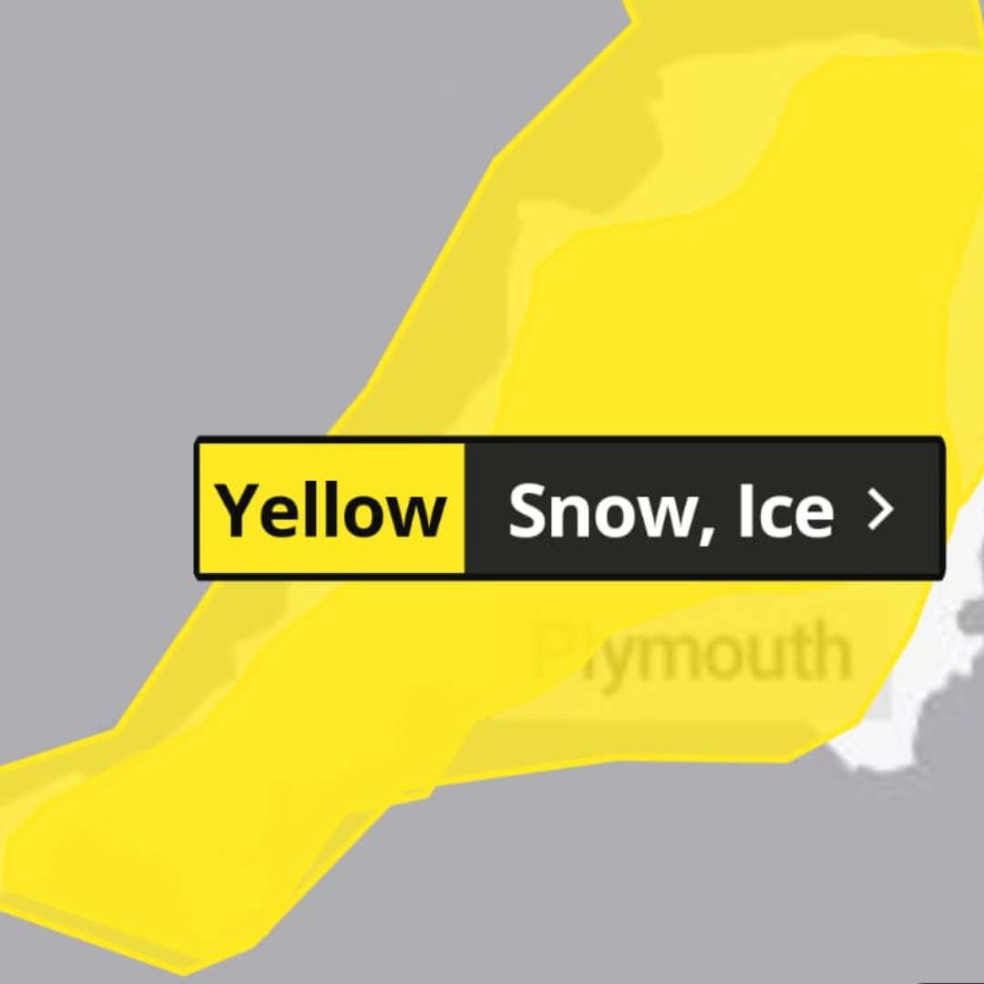
Newquay and much of Cornwall have been placed under yellow weather warnings for snow and ice as thousands of people prepare to return to work and school following the Christmas break.
The first warning, issued by the Met Office, is in force from 16:00 on Saturday until midday on Sunday, covering the risk of ice.
A separate alert will then run from noon on Sunday until midday on Monday, warning of possible disruption from snowfall and icy conditions across the region.
Kernow Weather Team (KWT) says the warning area has now expanded to cover the whole of Cornwall. Forecaster Dave Clark said: “During Sunday, snow showers are expected to push further inland across Cornwall and yes, our old friend the Pembrokeshire Dangler is playing a role again, feeding those showers down from the north.”
Coastal areas are more likely to see rain or sleet, particularly close to the sea, while inland areas and higher ground are expected to experience snow showers. While not everyone will see snowfall, forecasters say 1–3cm could build up in many places by Monday morning, with 5–8cm possible in a few locations, especially inland and over higher ground. Icy stretches are also likely to form widely, particularly where showers fall onto already cold or frozen surfaces.
A further warning for snow and ice will be in place from Monday lunchtime into Tuesday.
KWT says wintry conditions could lead to travel delays and hazardous driving conditions. People are being advised to plan journeys in advance, allow extra time and check for road closures or public transport disruption. Pedestrians are also urged to take care, particularly during the early morning and evening when icy conditions are most likely.
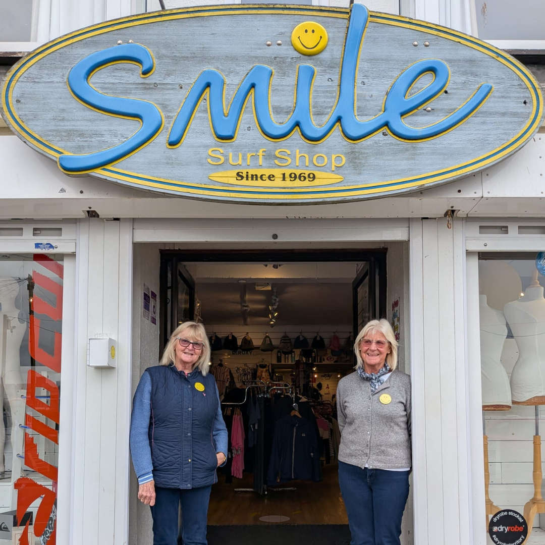 Newquay surf shop owner retires after nearly 57 years
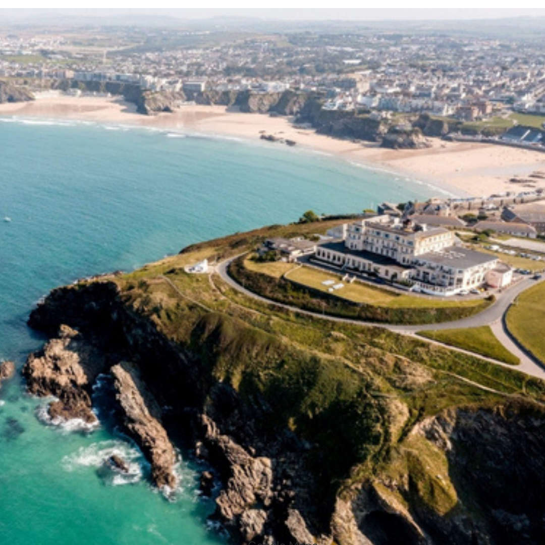 Atlantic Hotel in Newquay bought by Cornwall Hotel Collection
 Oscar Wilde classic brought to life in Newquay
 Paws on the Beach returns to Watergate Bay this April
 Major milestone reached in build of new high street and supermarket at Nansledan
 Newquay AFC held as town sides battle for points across football, rugby and hockey
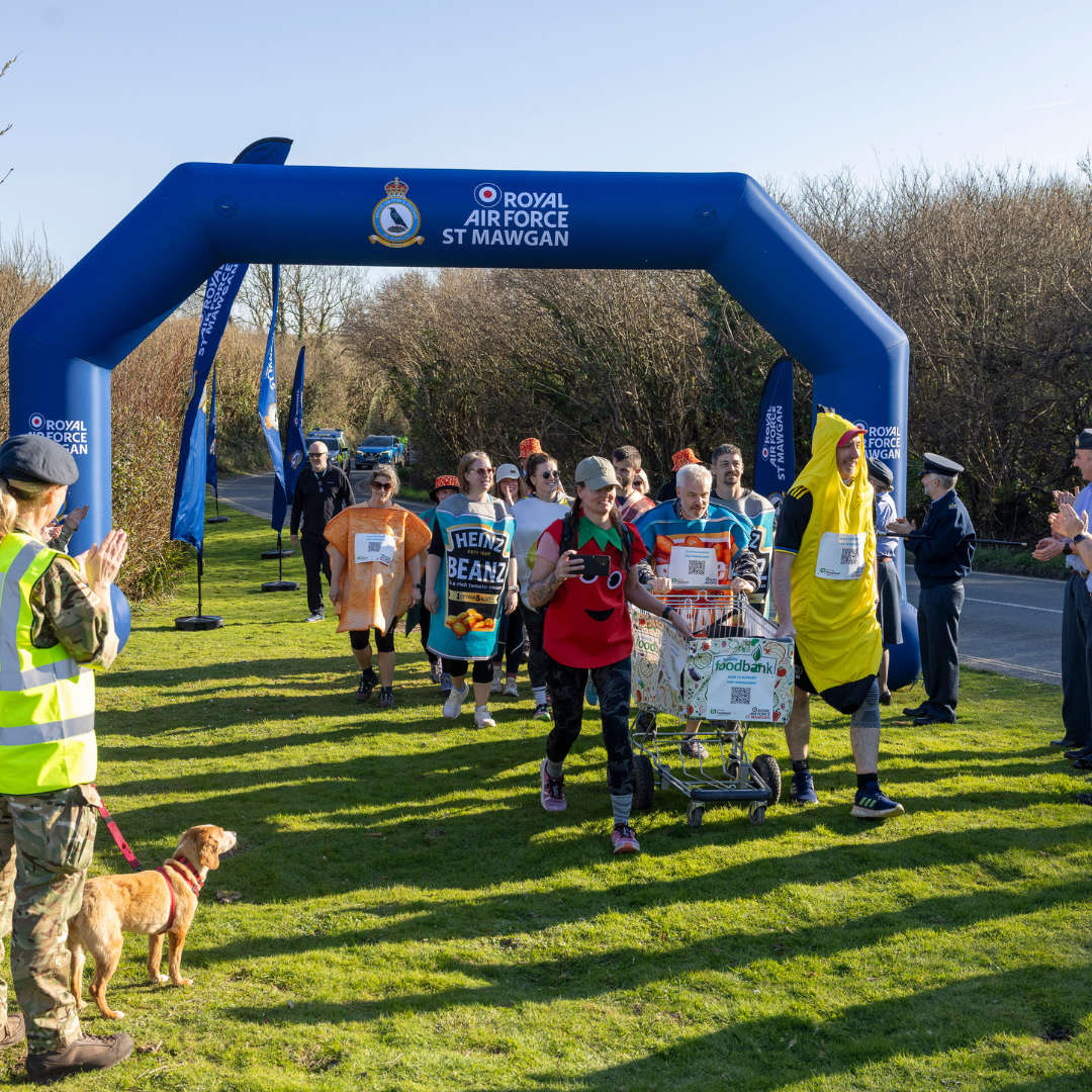 RAF St Mawgan personnel complete 70-mile charity walk for Newquay Foodbank
 Margaret Thatcher and Queen Elizabeth feature in new production at Lane Theatre
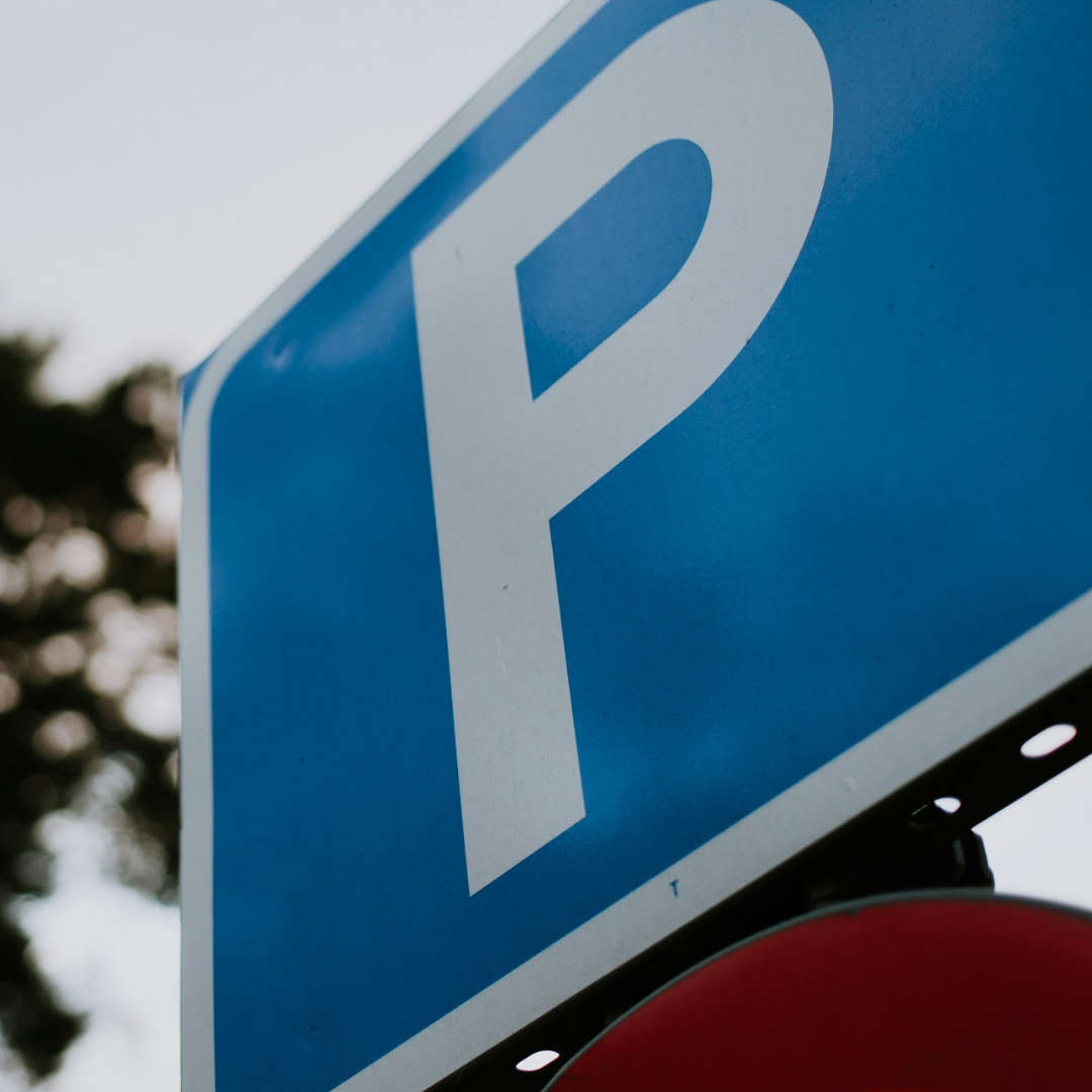 Winter parking charges approved for some Newquay car parks
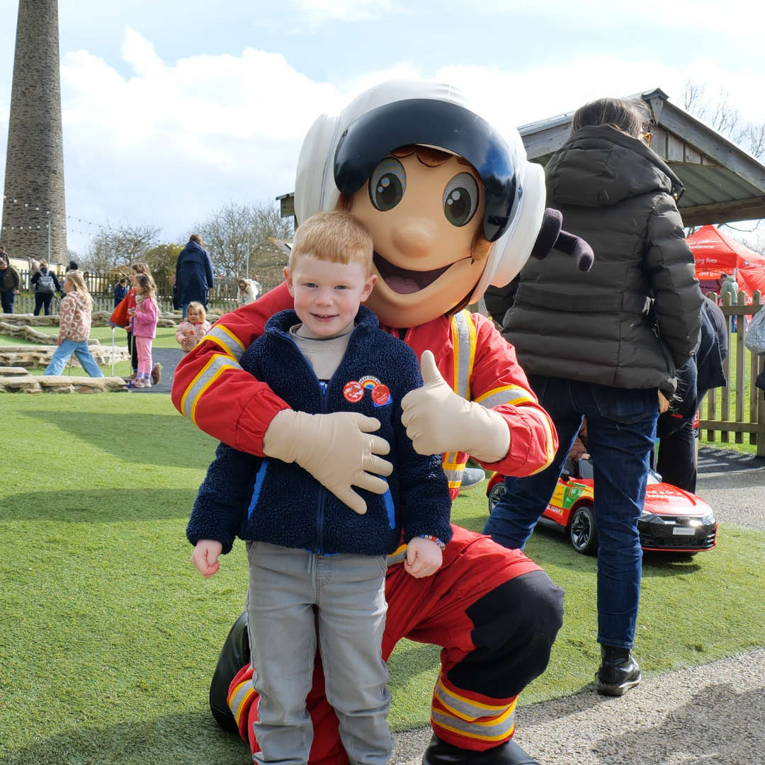 Charity day at Cornish attraction raises thousands for air ambulance
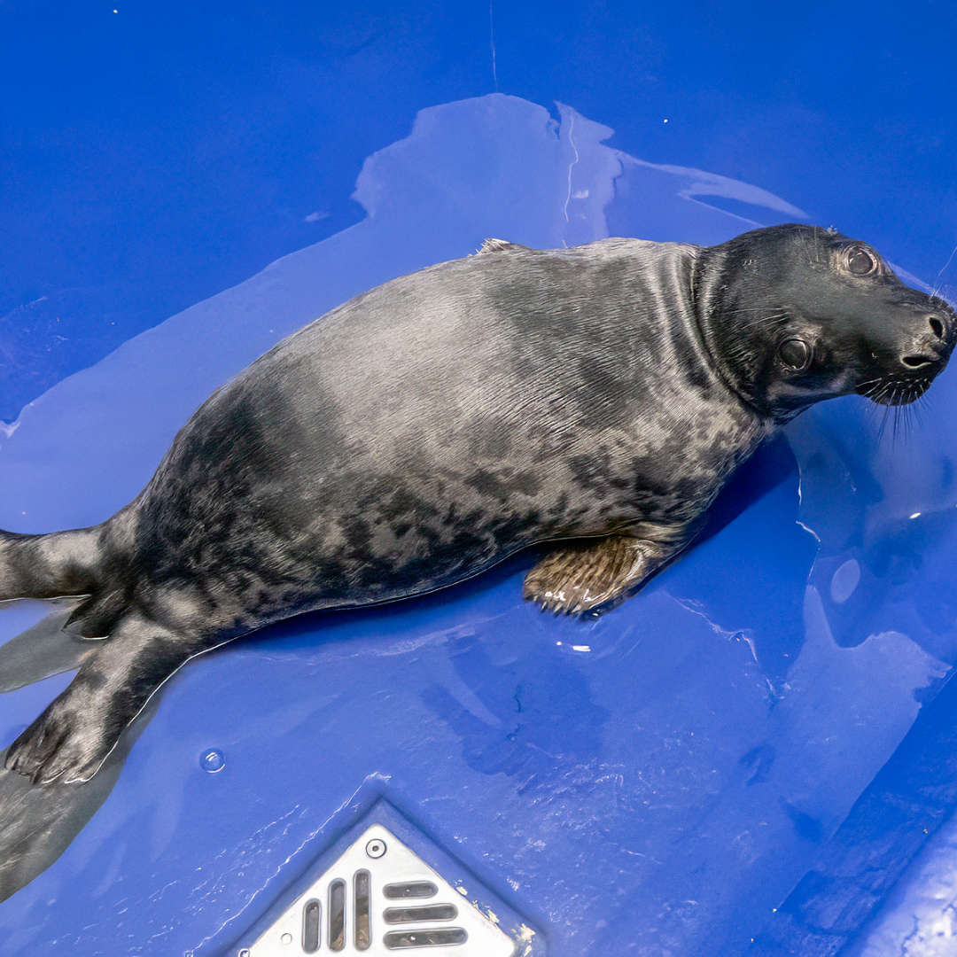 Rescued seal pups released back into sea after winter storms
 By-election to be held in Newquay following death of long serving councillor
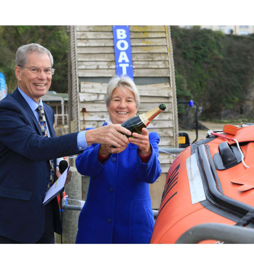 Newquay's newest lifeboat has officially been named
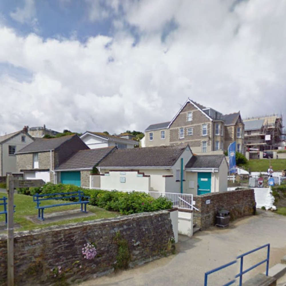 Work is underway to introduce a charge at Porth Beach public toilets
 A fun-filled family adventure awaits as Newquay Stage Company perform their latest show this week
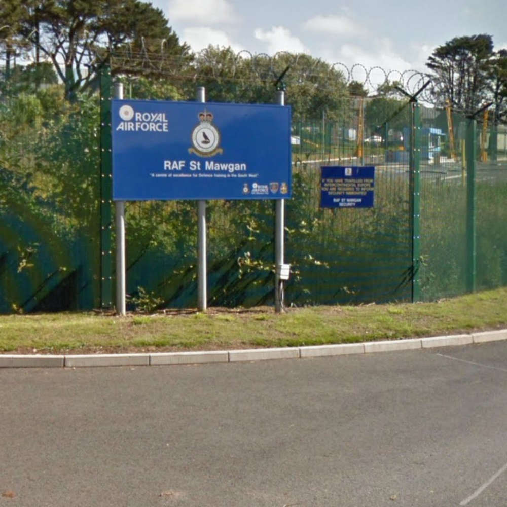 RAF St Mawgan has reassured the public that increased activity levels at the base is part of a planned exercise
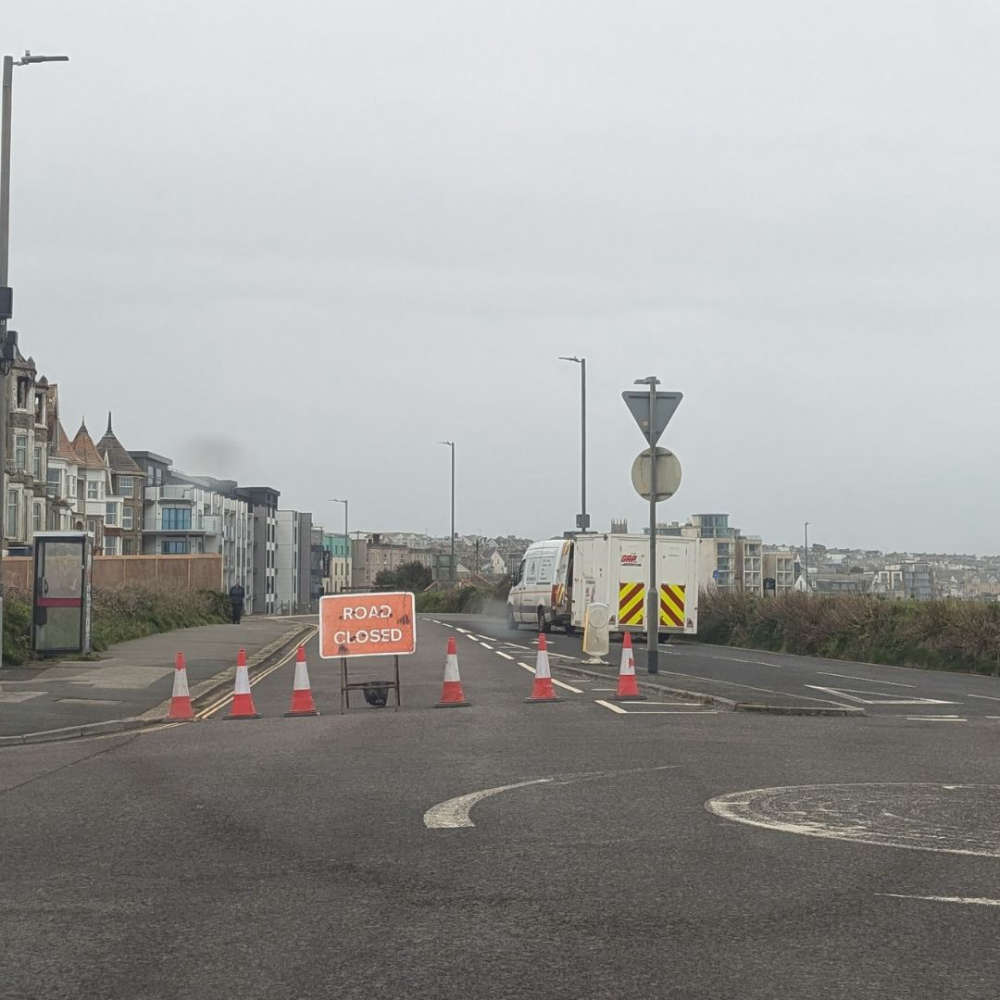 A number of roads - including a stretch of the Narrowcliff - have been closed after leaks were found on the gas network
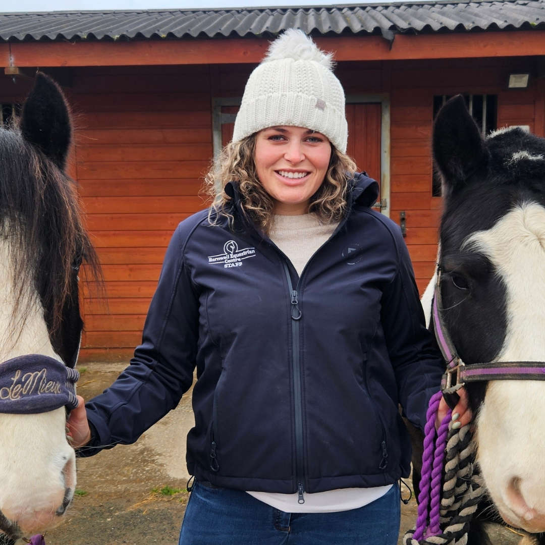 TikTok funds free horse riding lessons near Newquay
 Joe Way Paddle for Life to return to Newquay this summer
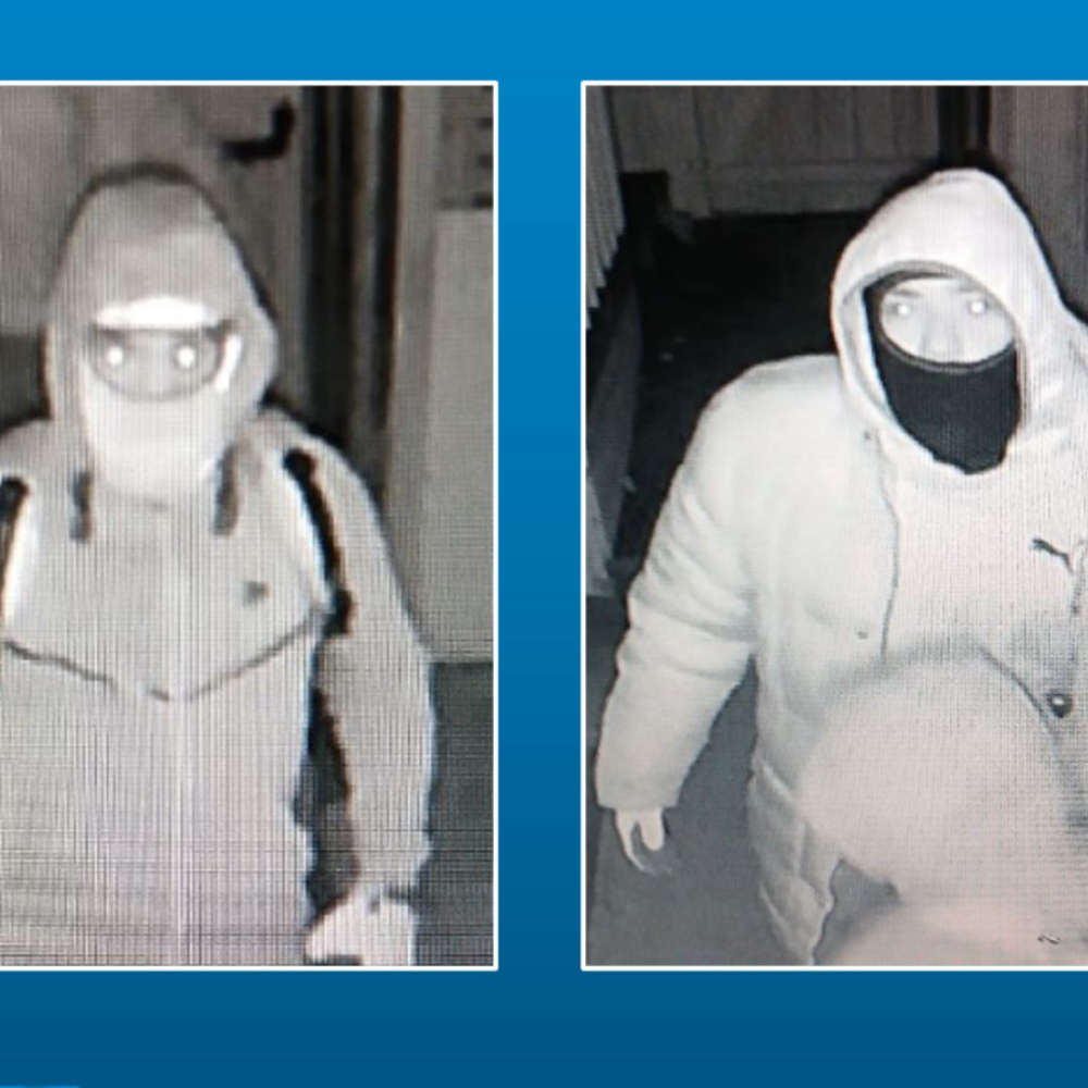 Police are appealing for help to identify two men following an aggravated burglary in Newquay