Newquay is set to experience its coldest spell of the season this week, with forecasters predicting a combination of showers, strong winds and the first risk of wintry conditions.
According to the Kernow Weather Team, Tuesday will begin with showers across the town before clearer spells develop late in the morning. Cloud is expected to return later in the day with further scattered showers. Temperatures will reach around 10°C with a moderate westerly breeze.
Overnight temperatures are forecast to fall to between 5°C and 8°C, with occasional showers continuing.
Conditions are expected to turn markedly colder on Wednesday as northerly winds strengthen, with gusts potentially reaching 50mph. Daytime temperatures of 4–6°C may feel several degrees below freezing in exposed areas.
Forecasters say there is a chance of hail during heavier showers, and sleet could develop later on Wednesday as colder air moves in. Wintry showers are likely to continue into Wednesday night and into Thursday morning.
Kernow Weather Team’s Dave Clark said:
"The winds keep blasting at 20–50mph, now from the northwest.
“Feels like” temperature: –4°C
Actual temperature: 5–6°C
More showers roll through during the afternoon, and as the cold air deepens, there’s a risk of… yes… sleet later in the day.
Between the showers, there will be some bright spells, the sort that trick you into thinking you won’t need a coat. Don’t fall for it.
By Wednesday evening, the showers turn more prolonged again, with a growing chance of hail and even sleet heading into the night."
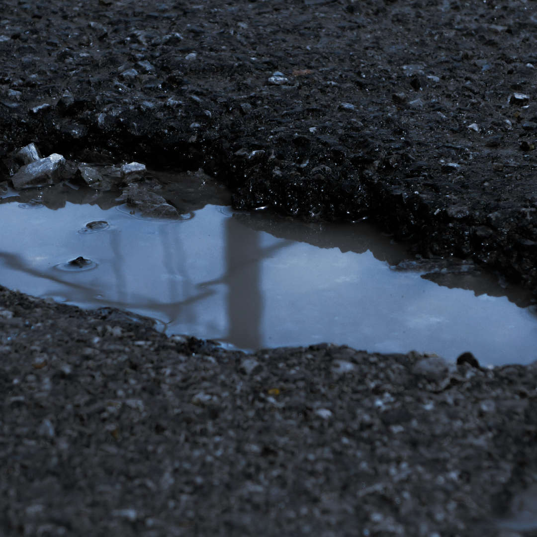 Cornwall Council repairing hundreds of potholes a day amid surge in reports
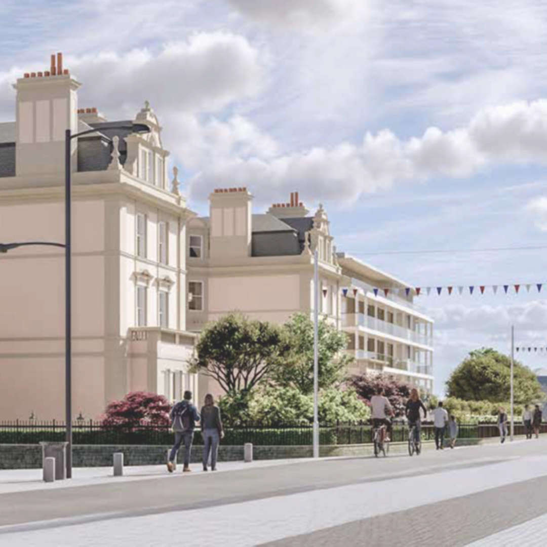 Newquay councillors raise no objections to Hotel Victoria redevelopment plans
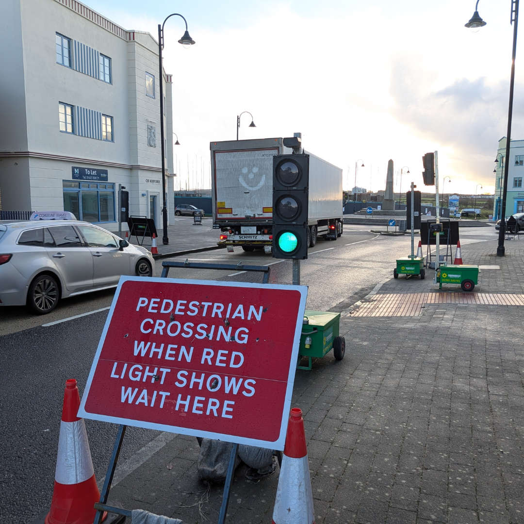 Residents views sought on plans for pedestrian crossings in Nansledan
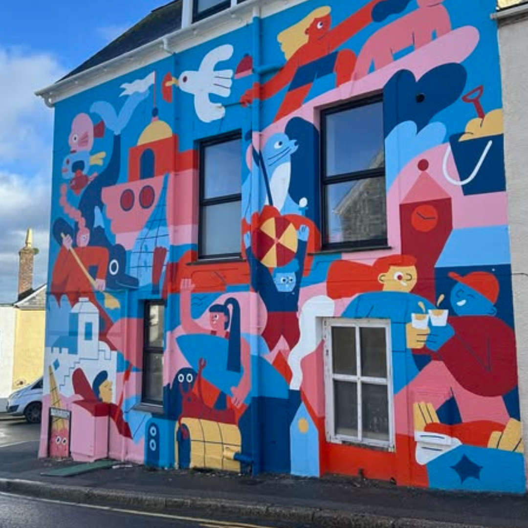 New murals and town improvements planned after funding award
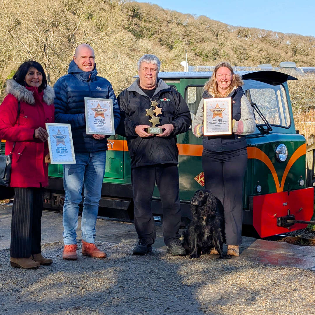 Lappa Valley scoops four top honours at Cornwall family awards
 Newquay business leader warns Chancellor of “unsustainable pressure” on high streets
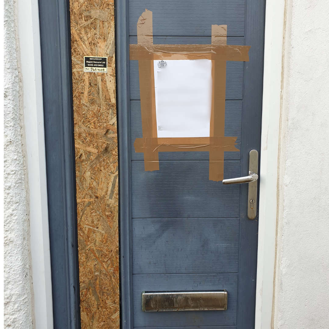 Tenant removed as Newquay property hit with second court order
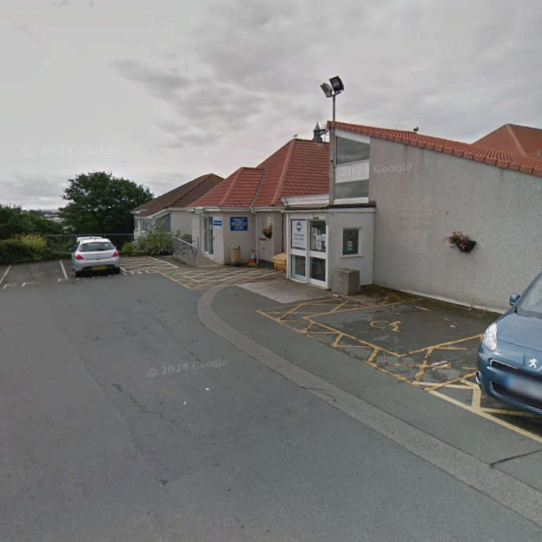 Newquay Minor Injuries Unit to return to longer opening hours
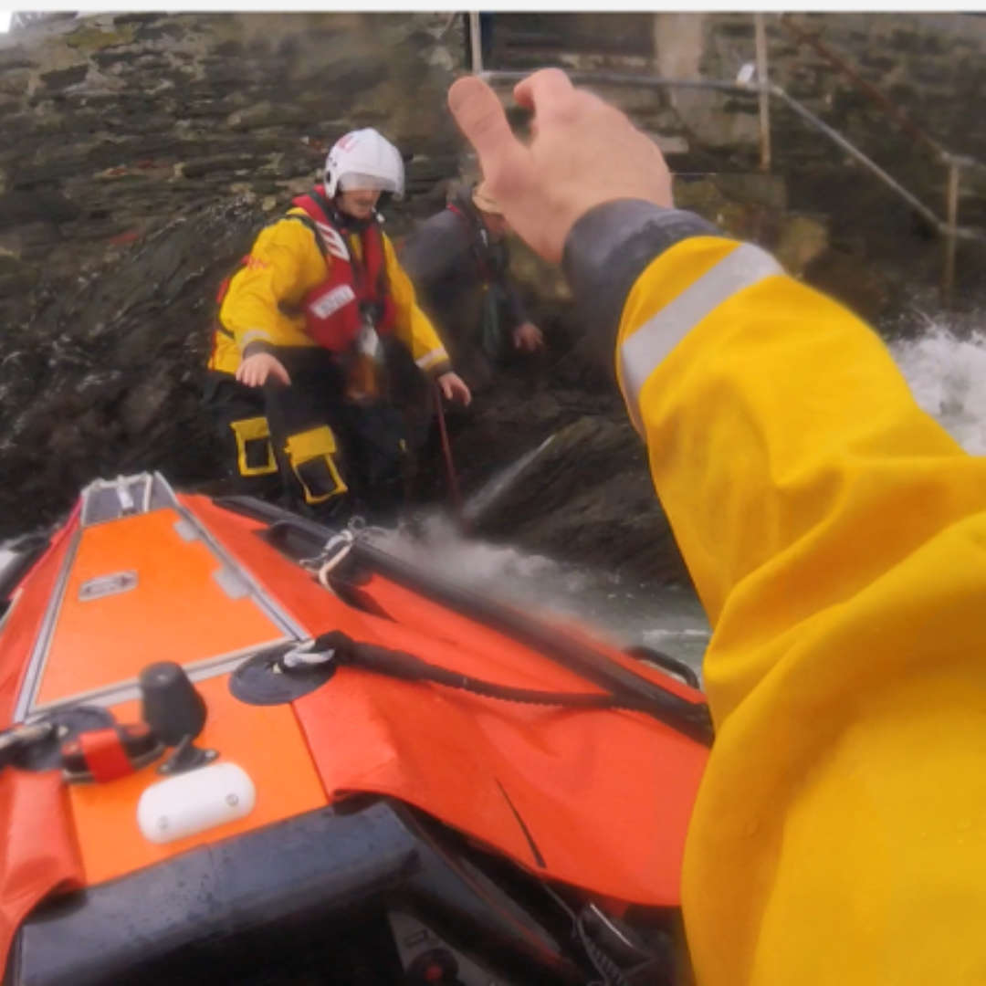 RNLI releases images of Newquay landslide rescue in challenging sea conditions
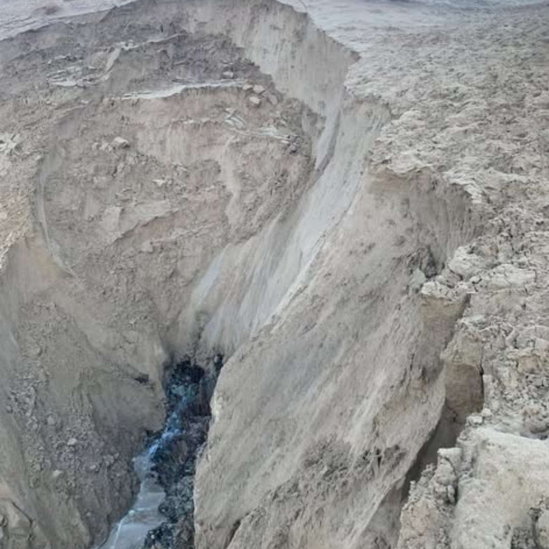
 Five people rescued after cliff fall
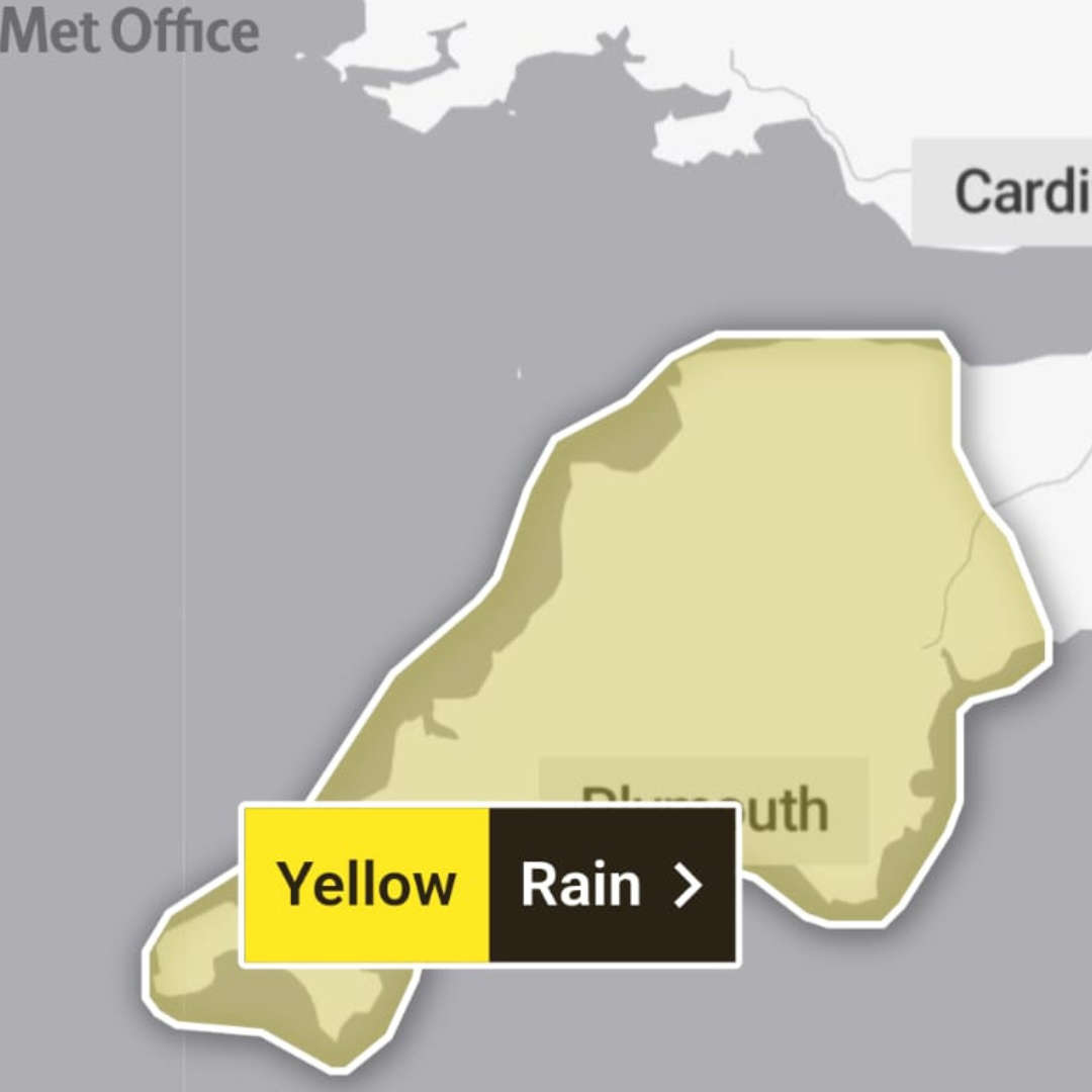 New yellow warning for heavy rain as Newquay rail line to remain closed
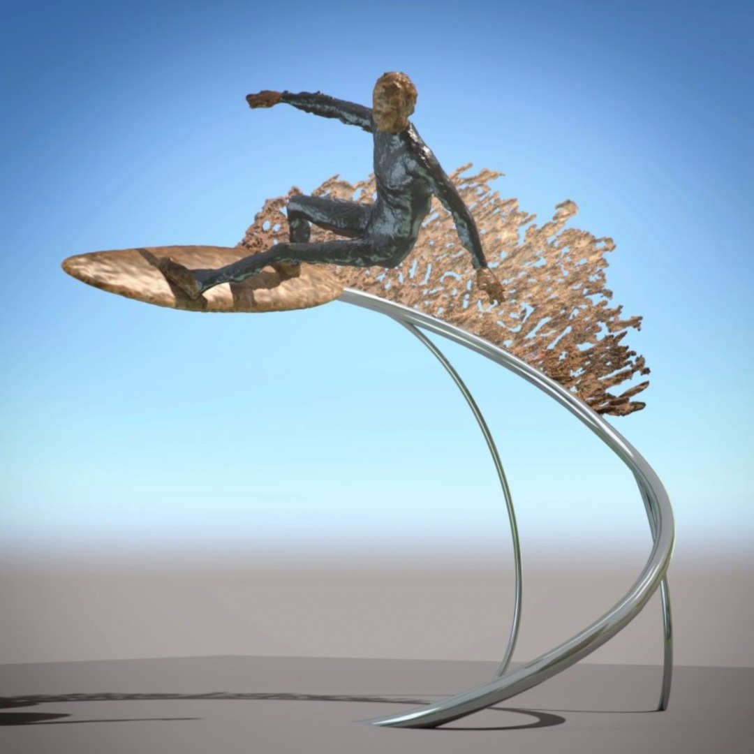 Work to install surf heritage statue begins
 Beachgoers warned to avoid unstable sand dunes at Crantock
 Newquay's bid to become the UK Town of Culture in 2028
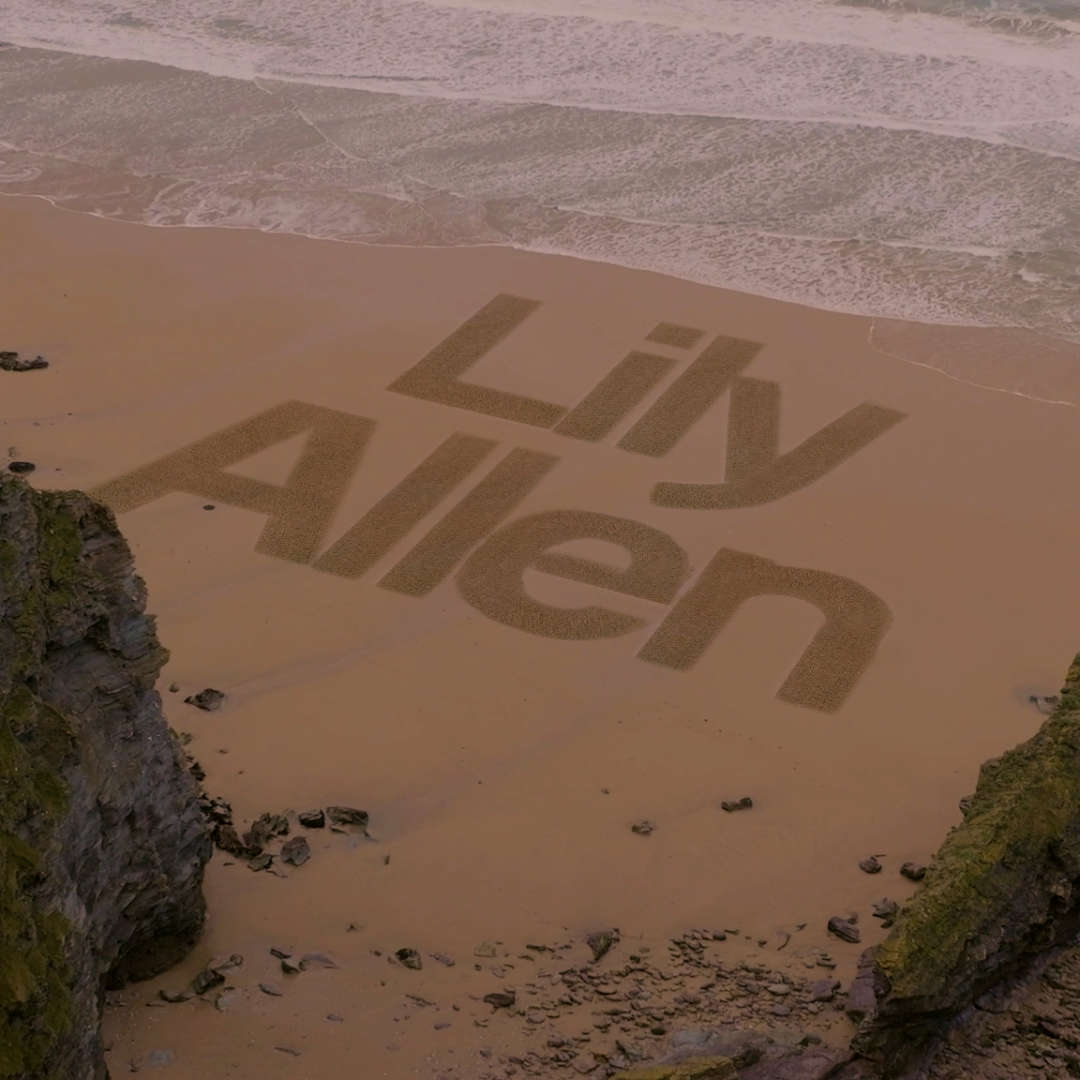 Sand art reveals final big name for Boardmasters
 Newquay Carnival boosted by £500 community grant
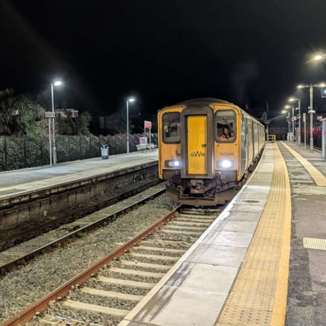 Newquay MP calls on government to "future-proof" the rail network after storm disruption
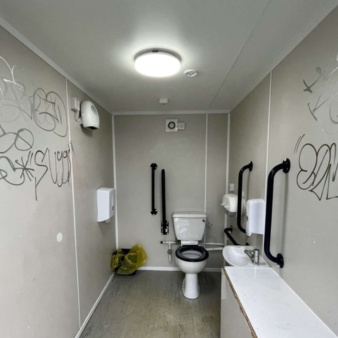 “Significant vandalism” forces closure of council toilets
 Joe Way Paddle for Life to return to Newquay this summer
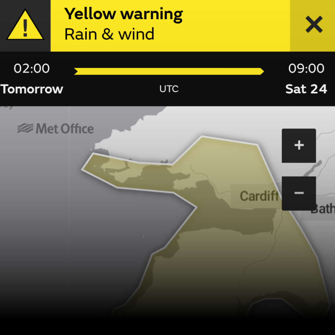 Yellow weather warning issued as Storm Ingrid approaches Cornwall